Log in
All resources
Create a design
33,741 Free Images of 1732 Maps
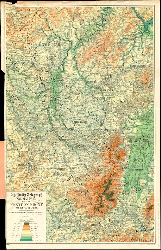
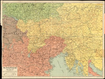
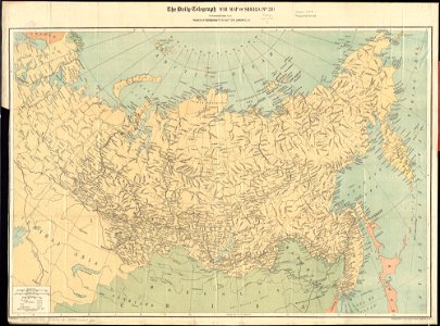
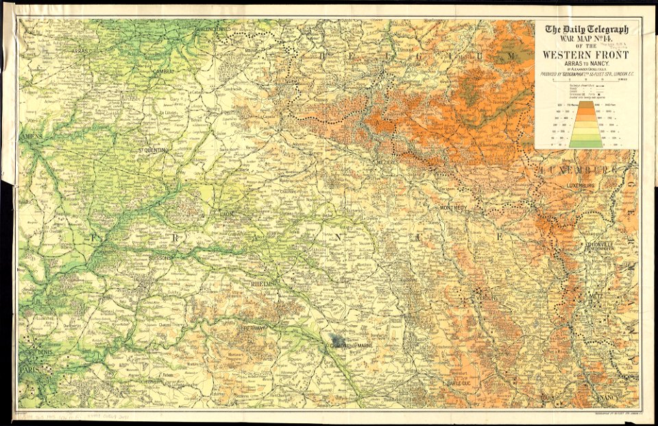
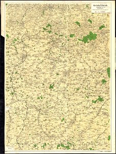
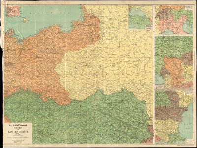
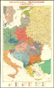
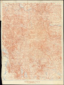
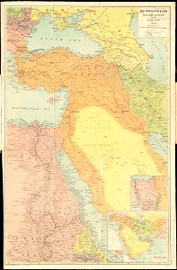
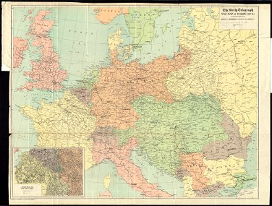
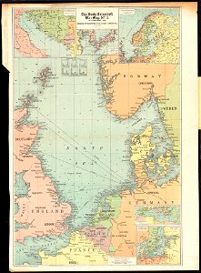
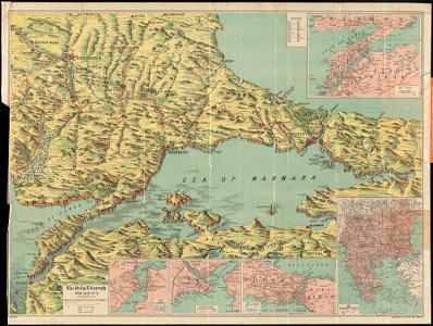
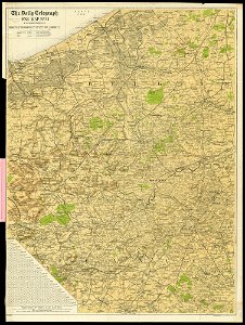
maps of world war i by the daily telegraph
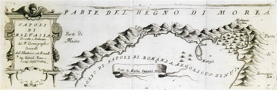
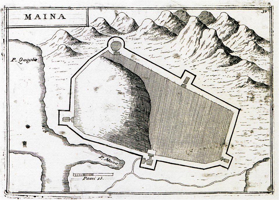
geographical illustrations by coronelli
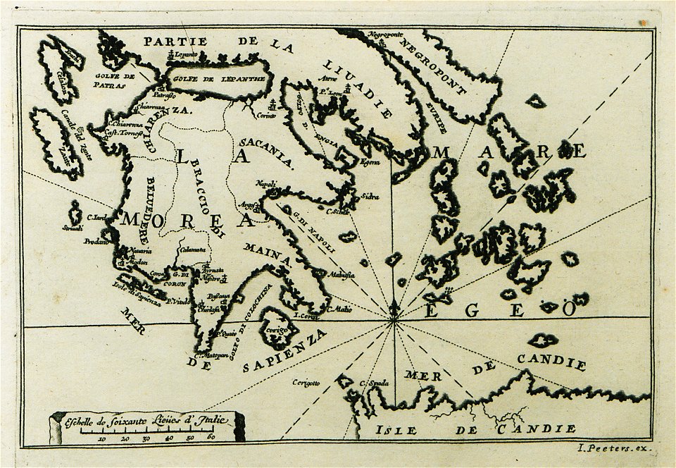
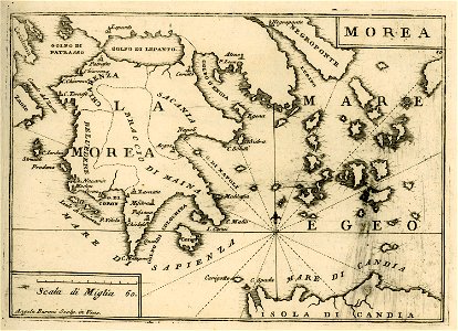
old maps of the peloponnese
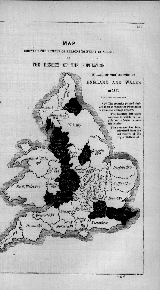
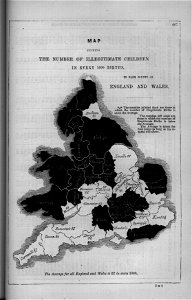
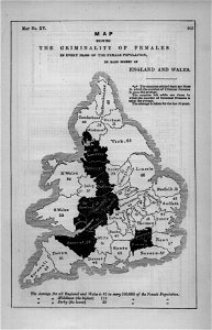
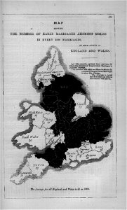
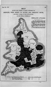
maps in london labour and the london poor (1851)
provided by landsbókasafn íslands
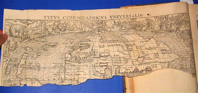
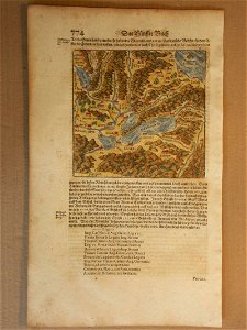
cosmographia (1600) by sebastian münster
lepsius-projekt - maps
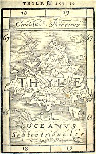
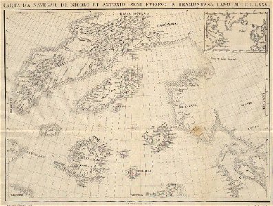
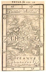
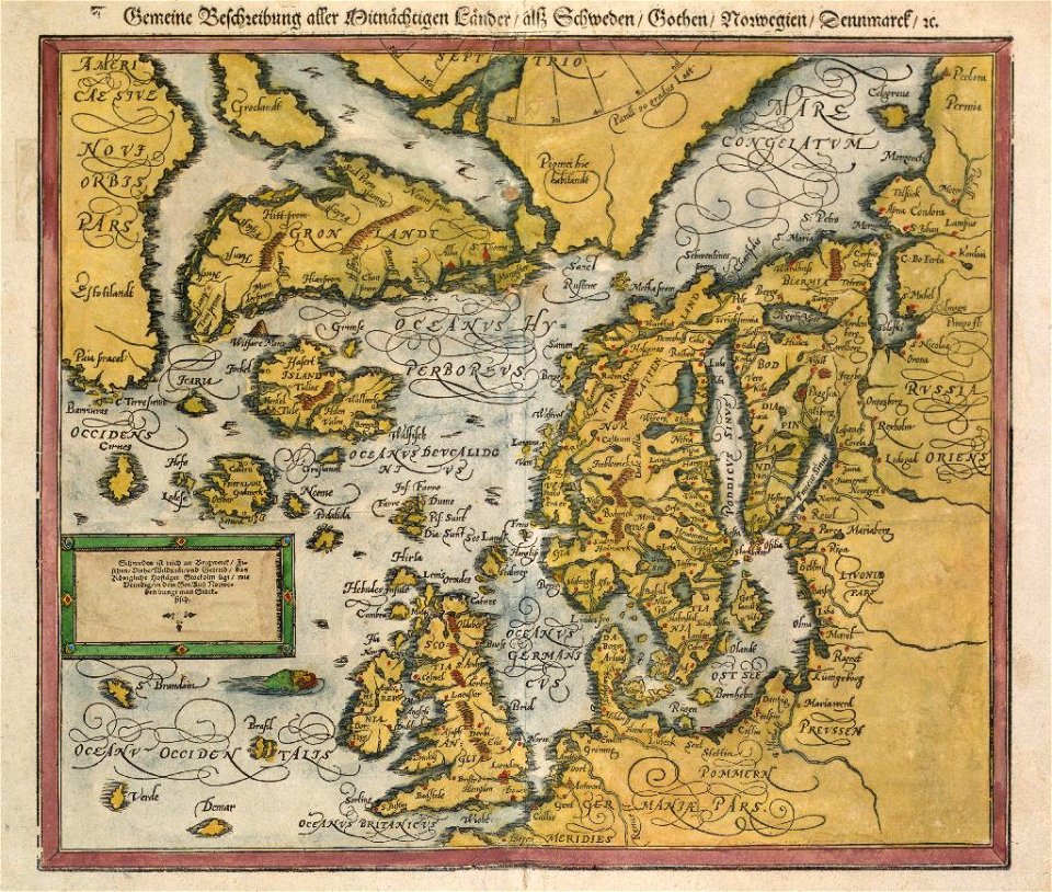
16th-century maps of iceland
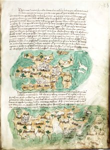
liber insularum archipelagi (royal museums greenwich)
old maps of switzerland
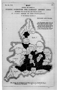
maps in london labour and the london poor (1851)
maps in london labour and the london poor (1851)
illustrations of cosmographia (münster)
old maps of the world
cosmographia (1600) by sebastian münster
old maps of switzerland
maps in london labour and the london poor (1851)
cosmographia (1600) by sebastian münster
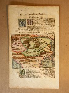
1600 maps of transylvania
maps in london labour and the london poor (1851)
maps in london labour and the london poor (1851)
cosmographia (1600) by sebastian münster
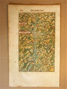
old maps of switzerland
maps in london labour and the london poor (1851)
maps in london labour and the london poor (1851)
maps in london labour and the london poor (1851)
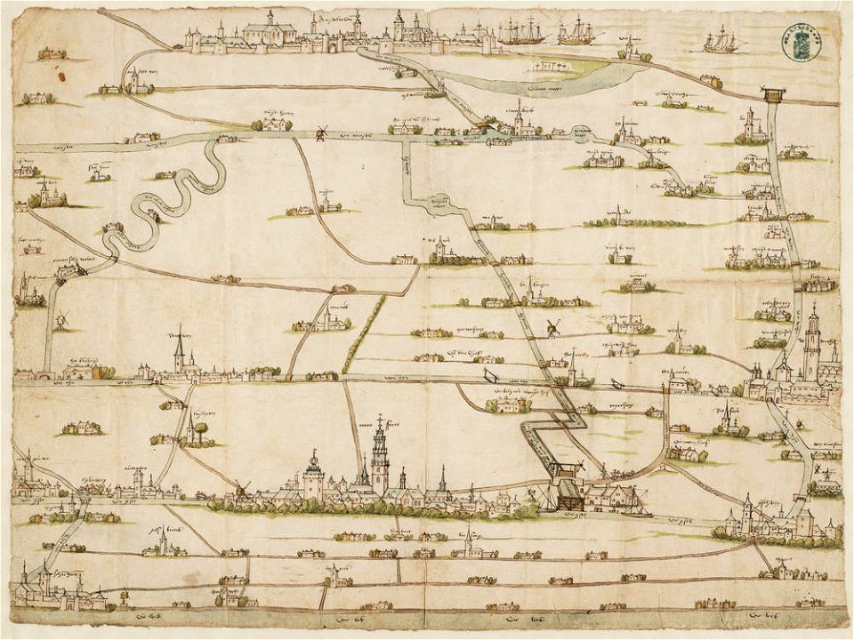
drawings in the stadsarchief amsterdam
old maps of amsterdam
description des principales villes (1690)
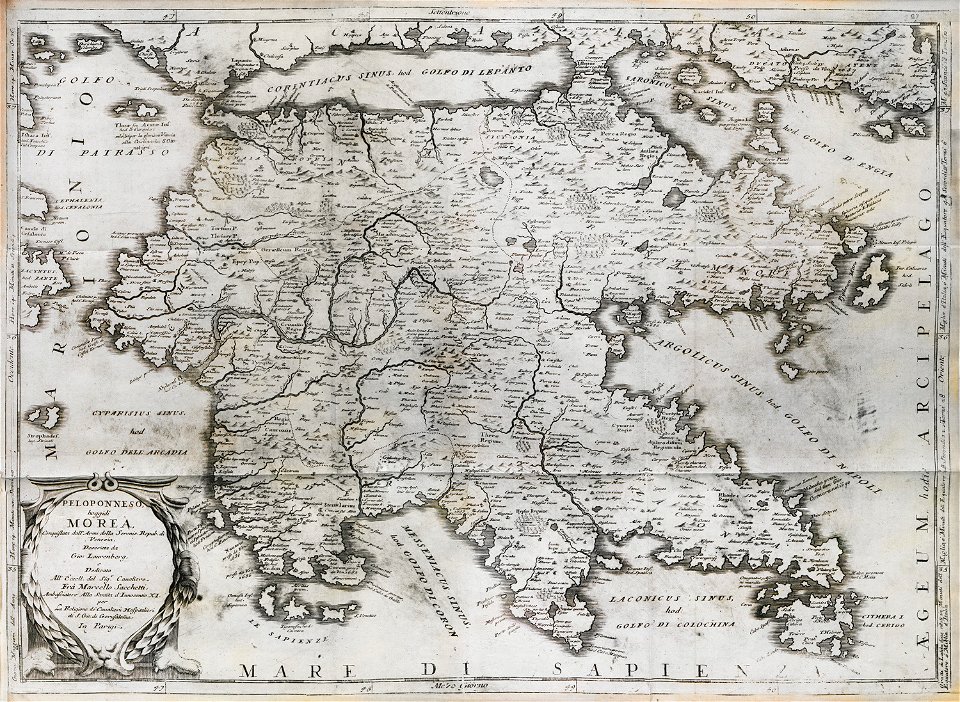
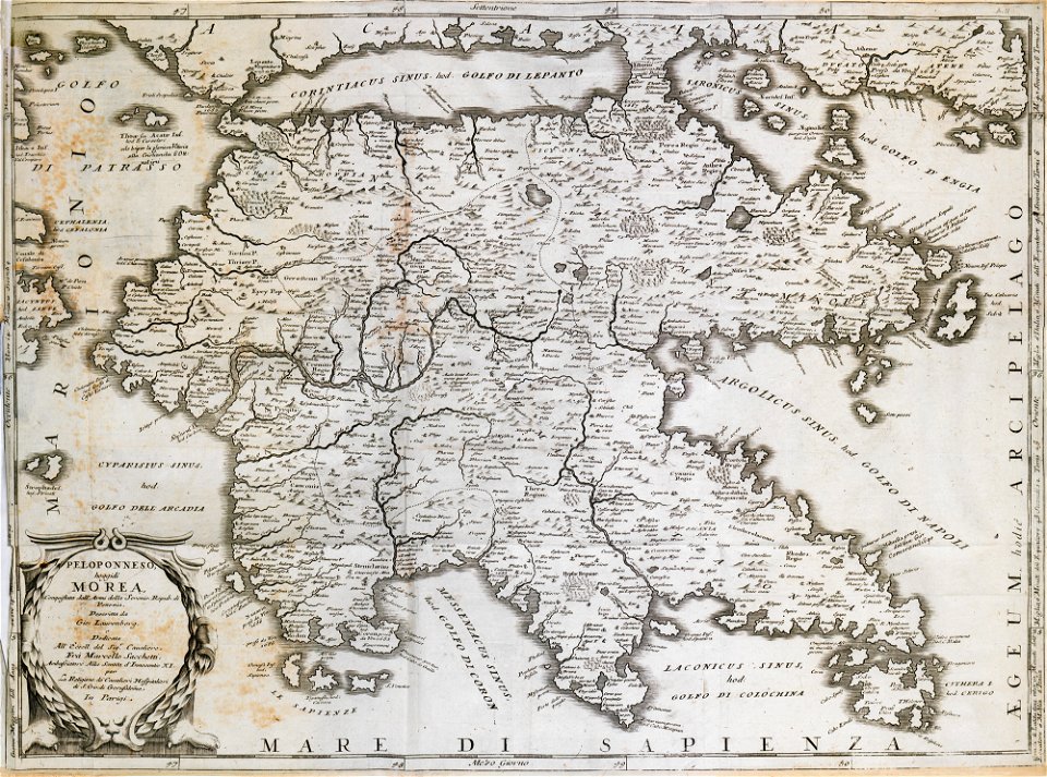
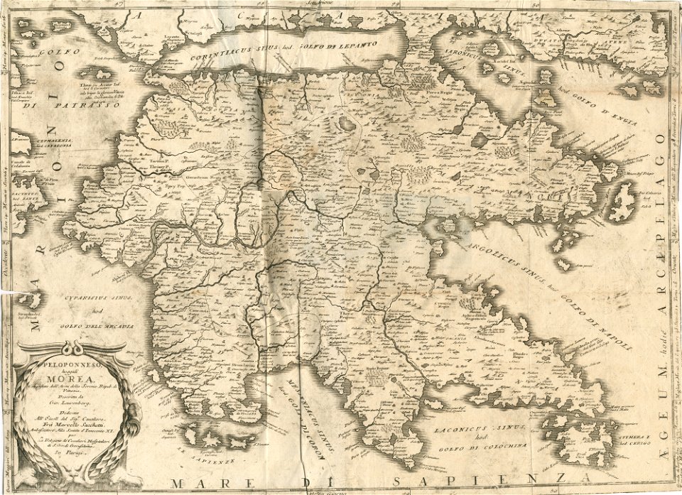
old maps of greece
geographical illustrations by coronelli
old maps of the peloponnese
cosmographia (1600) by sebastian münster
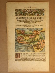
1600s maps of africa
cosmographia (1600) by sebastian münster
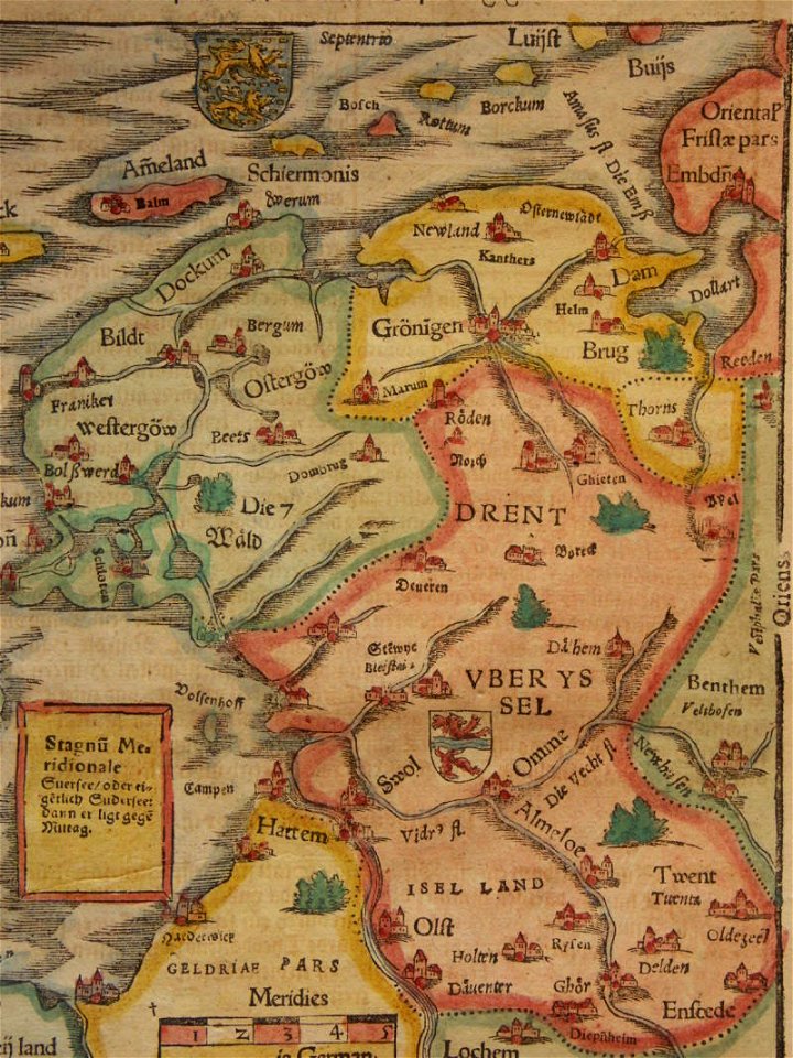
old maps of friesland
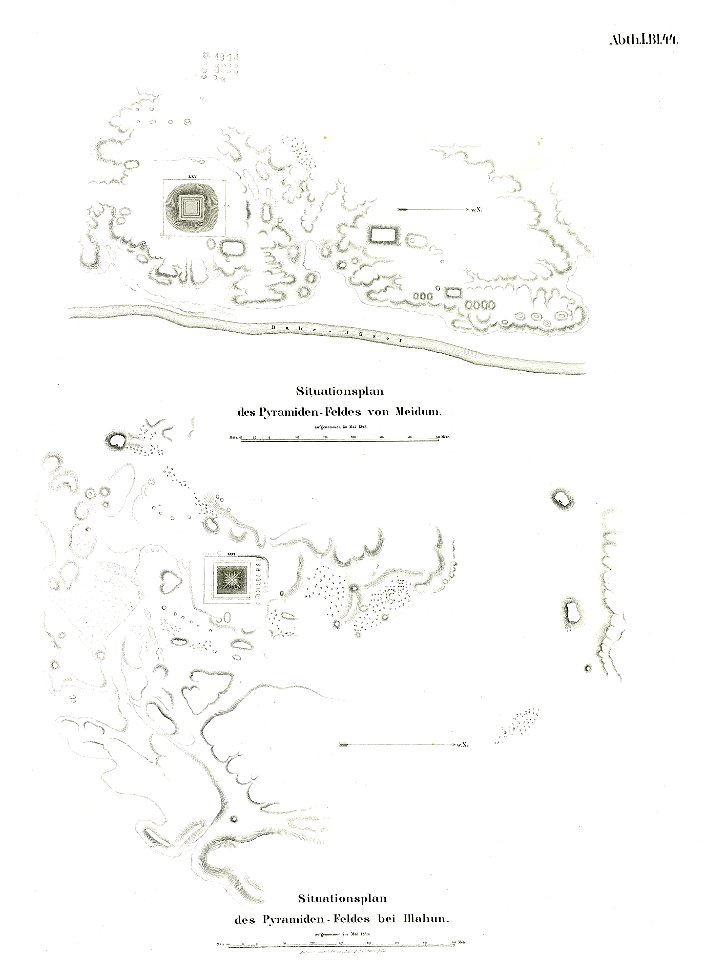
el-lahun
meidum
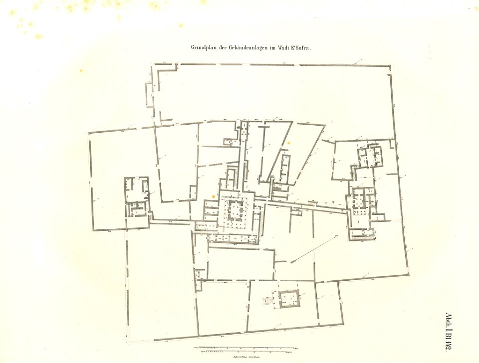
lepsius-projekt - temples
lepsius-projekt - maps
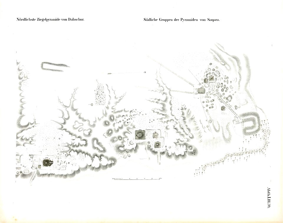
saqqara pyramids
dahshur
lepsius-projekt - temples
lepsius-projekt - maps
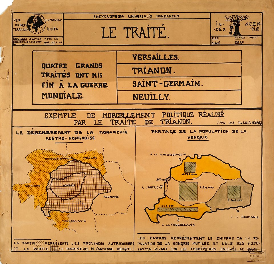
encyclopaedia universalis mundaneum
maps of the treaty of trianon
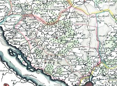
landtcarte von dem fürstenthumbe stormarn
maps of kreis pinneberg
national atlas of the united states
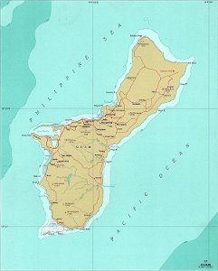
maps of guam
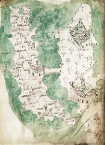
liber insularum archipelagi (royal museums greenwich)
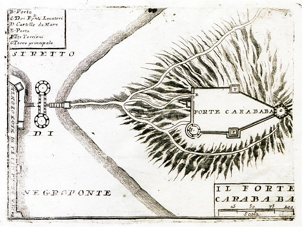
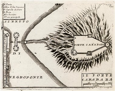
maps of euboea
copper engraving
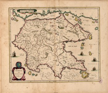
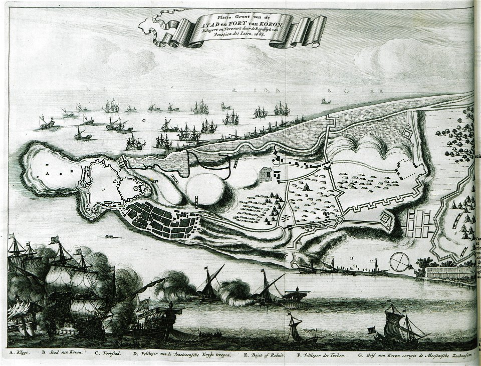
morea
liber insularum archipelagi (royal museums greenwich)
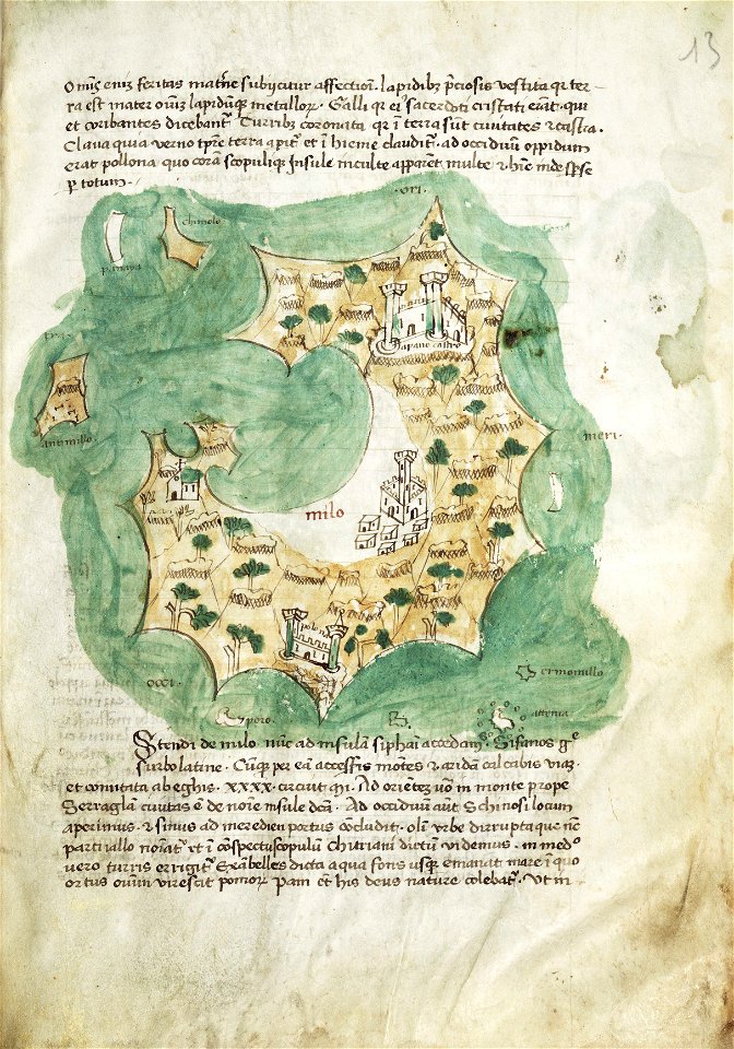
maps of milos
geographical illustrations by coronelli
old maps of the peloponnese
geographical illustrations by coronelli
old maps of the peloponnese
popular science monthly illustrations/volume 48
ice age maps
old maps of marseille
french navy bases
maps of paris in the 1730s
plan de turgot
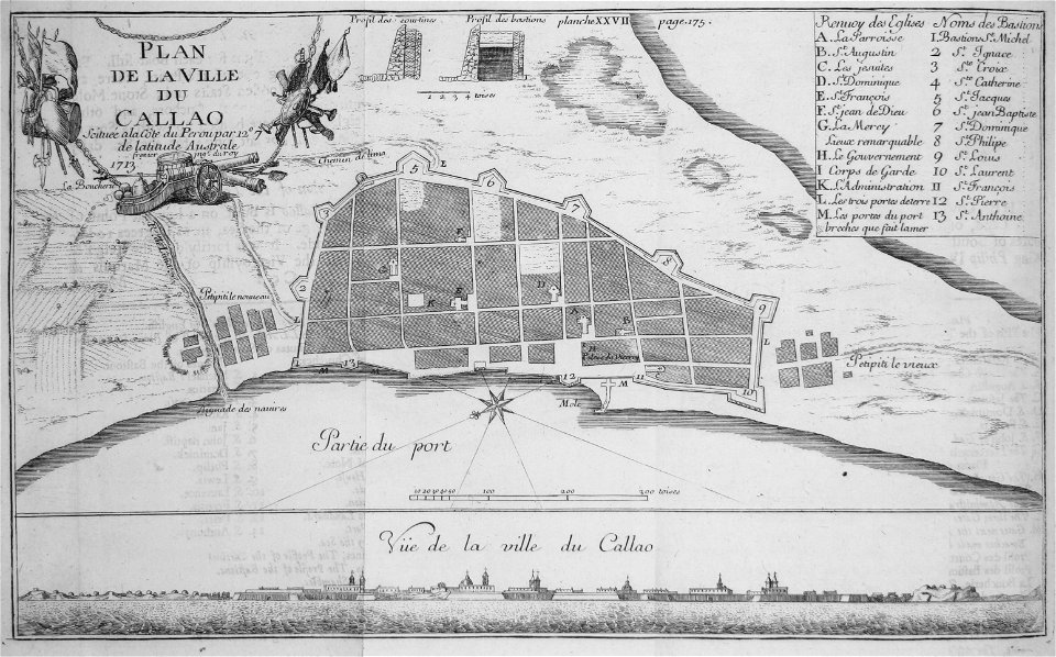
historical images of el callao
frézier's travel
old maps of greece
olfert dapper
the illustrated london news 1857
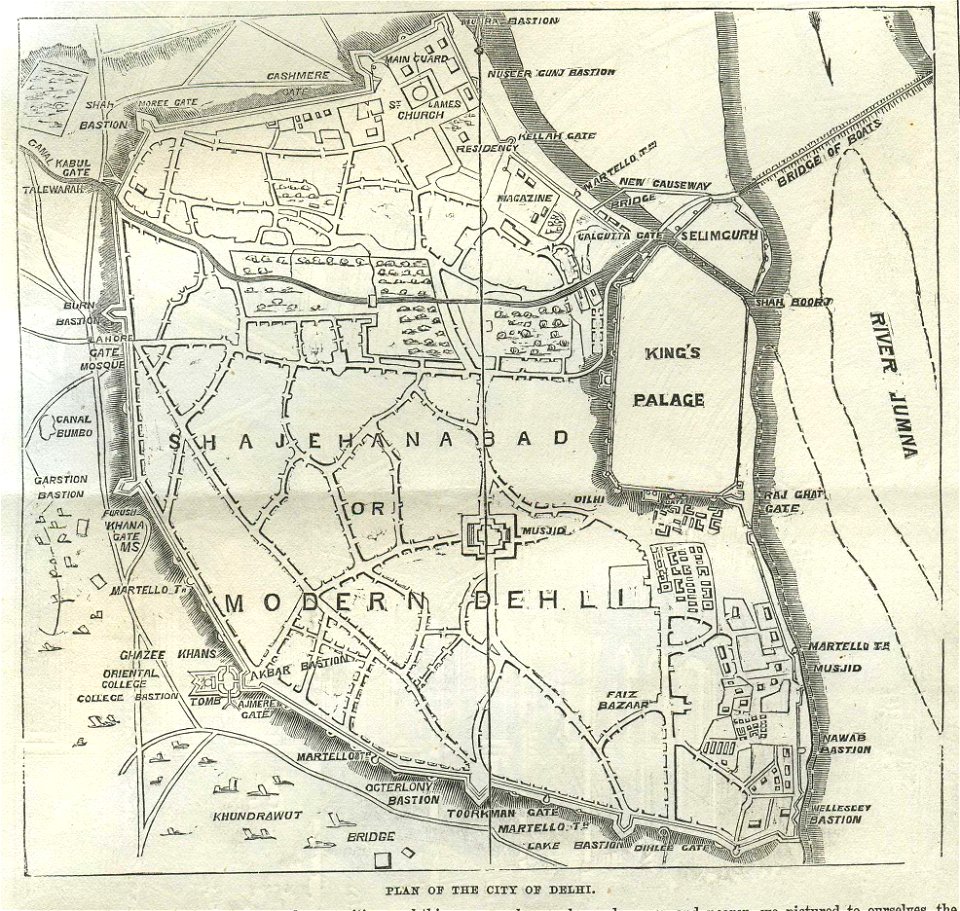
old maps of delhi
travels in sicily greece and albania
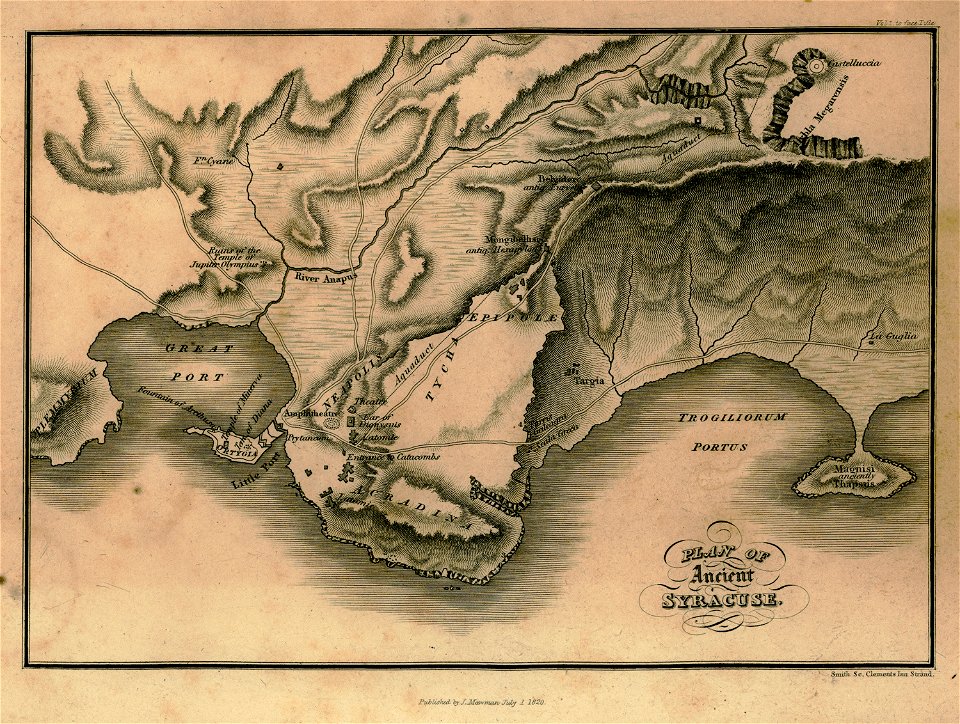
maps of syrakousai
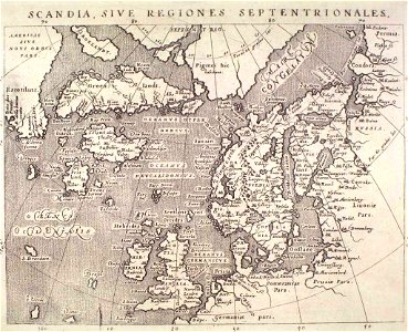
maps by gerardus mercator
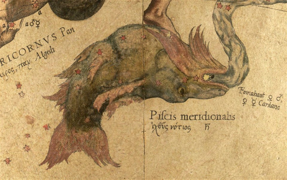
mercator celestial globe
description des principales villes (1690)
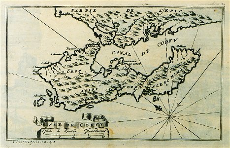
old maps of corfu
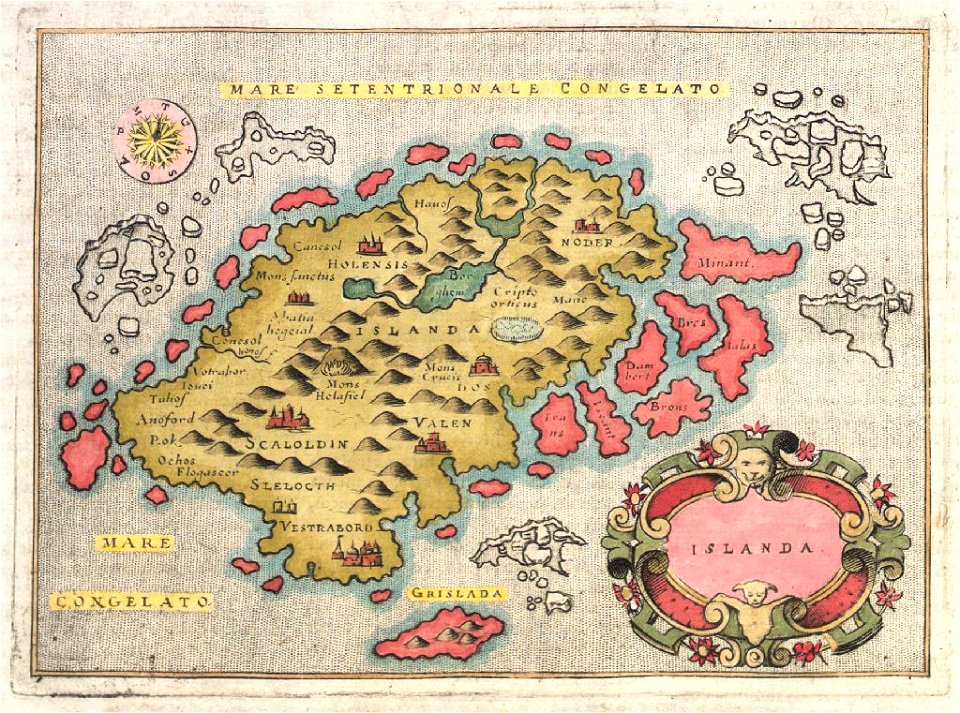
provided by landsbókasafn íslands
16th-century maps of iceland
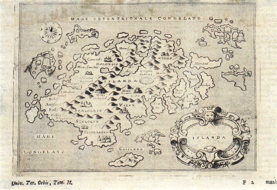
provided by landsbókasafn íslands
16th-century maps of iceland
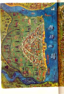
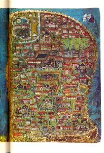
illuminated manuscripts in istanbul university
old maps of istanbul
provided by landsbókasafn íslands
maps by giovanni antonio magini
illuminated manuscripts in istanbul university
old maps of istanbul
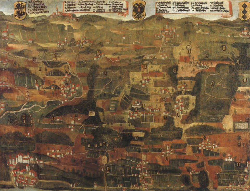
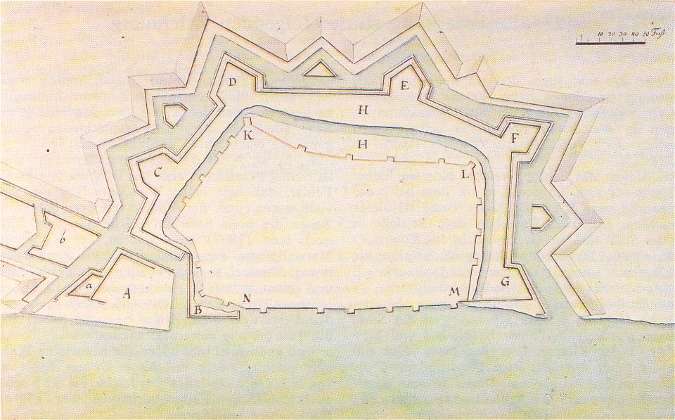
1660s maps of baden-württemberg
ittendorf
hiram m. chittenden locks maps and diagrams
ballard locks
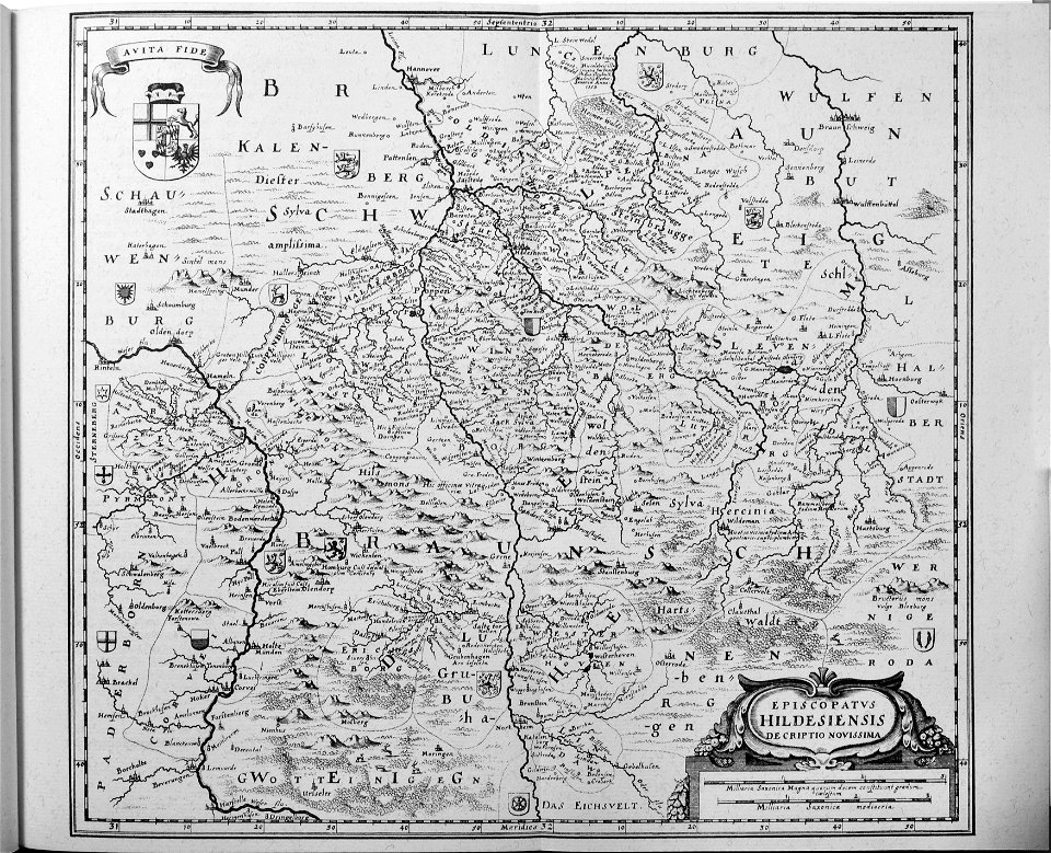
engravings of topographia saxoniae inferioris
old maps of hildesheim
geographical illustrations by coronelli
old maps of the peloponnese
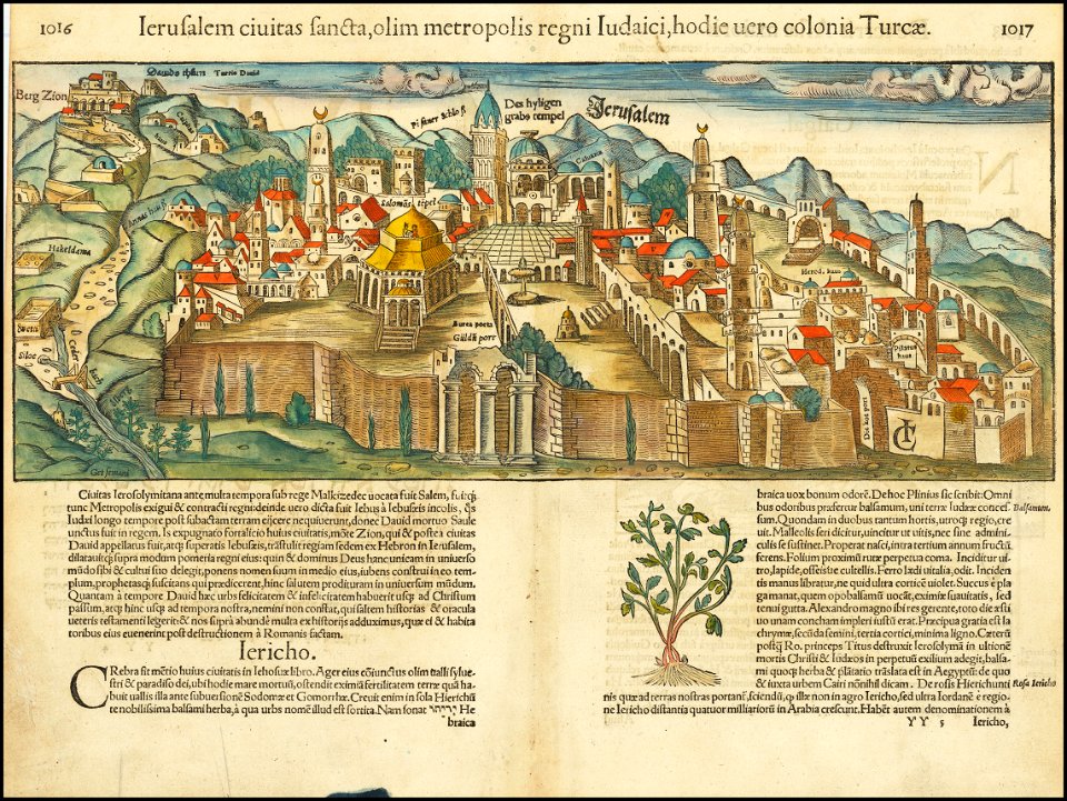
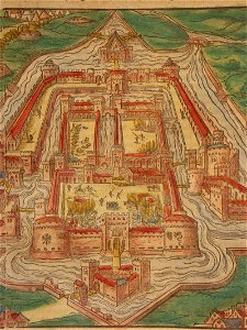
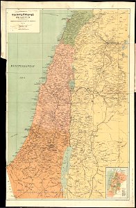
jerusalem in the 16th century
maps by sebastian münster
geographical illustrations by coronelli
old maps of the peloponnese
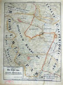
johann christoph müller
maps of rumburk
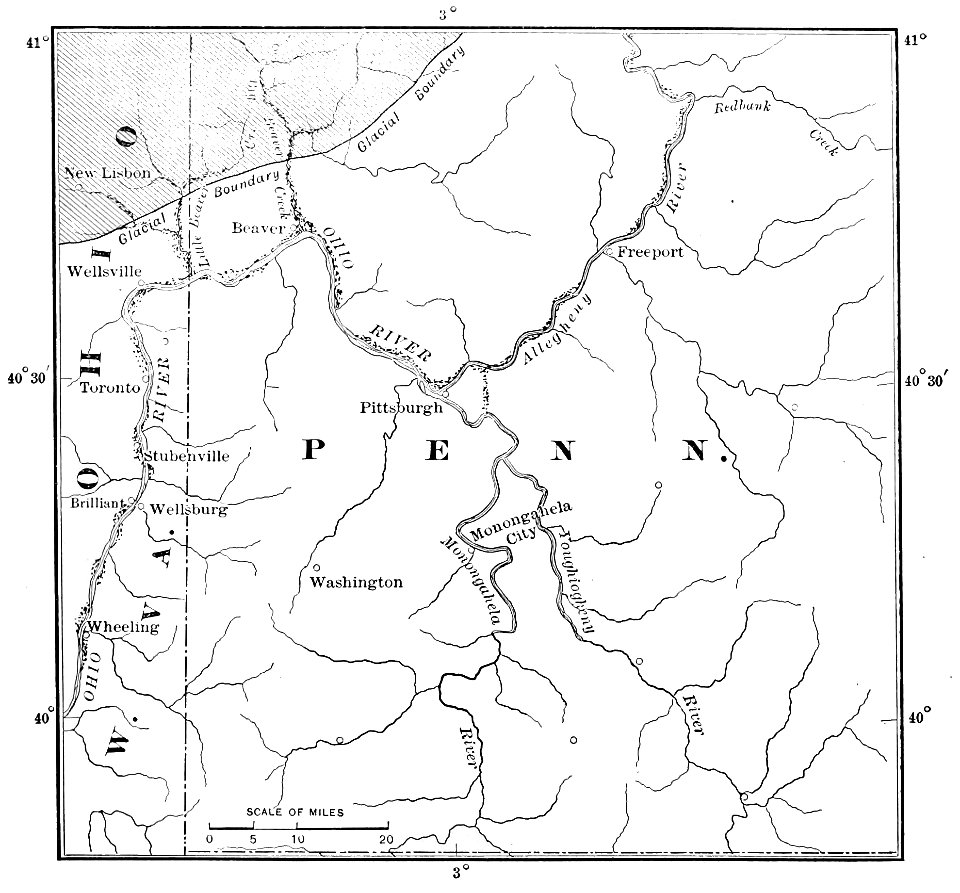
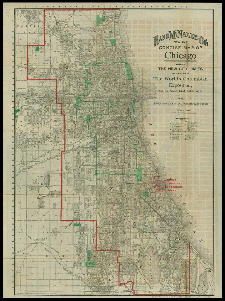
chicago and the midwest
newberry library
1885 maps
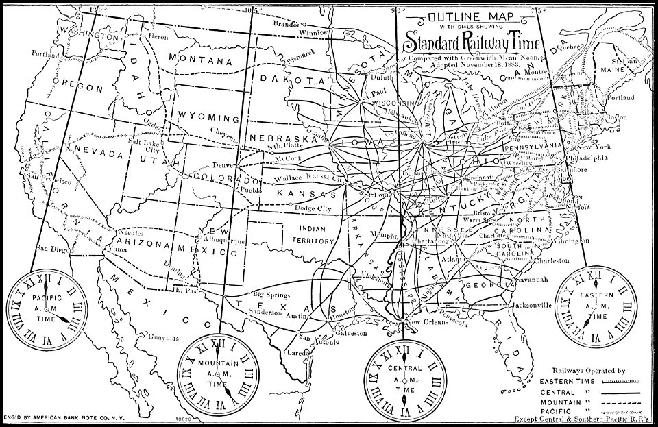
time
johann christoph brotze
old maps of riga
engravings of topographia saxoniae inferioris
old maps of hildesheim
johann christoph müller
maps of rumburk
cosmographia (1600) by sebastian münster
old maps of milan
geographical illustrations by coronelli
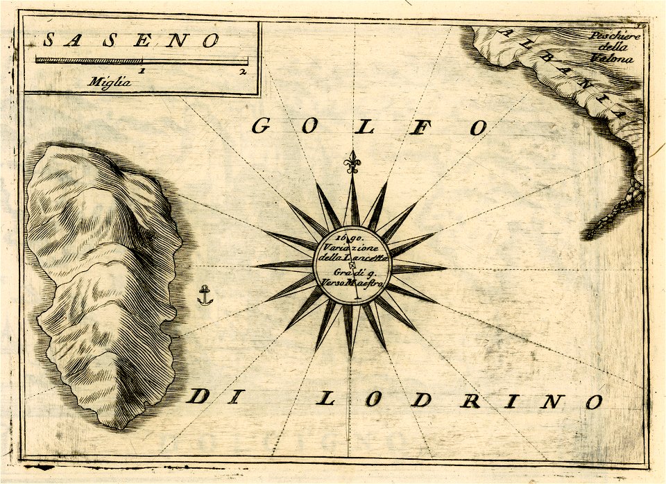
sazan
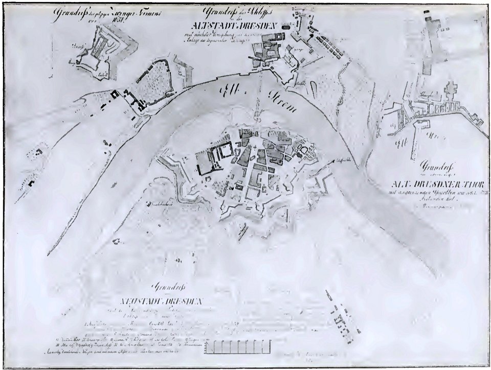
dresden (schumann)
innere neustadt
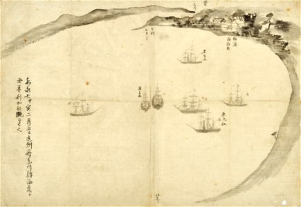
old maps of japan
perry expedition
liber insularum archipelagi (royal museums greenwich)
maps of kalymnos
maps of lars kietzlingh
källtorpssjön
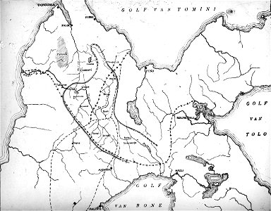
walter kaudern expedition to celebes
maps of central sulawesi
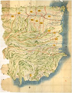
awa province (tokushima)
keichō kuniezu
geographical illustrations by coronelli
old maps of the peloponnese
old maps of bruges
covens en mortier
geographical illustrations by coronelli
old maps of the peloponnese
geographical illustrations by coronelli
old maps of the peloponnese
geographical illustrations by coronelli
old maps of the peloponnese
geographical illustrations by coronelli
old maps of the peloponnese
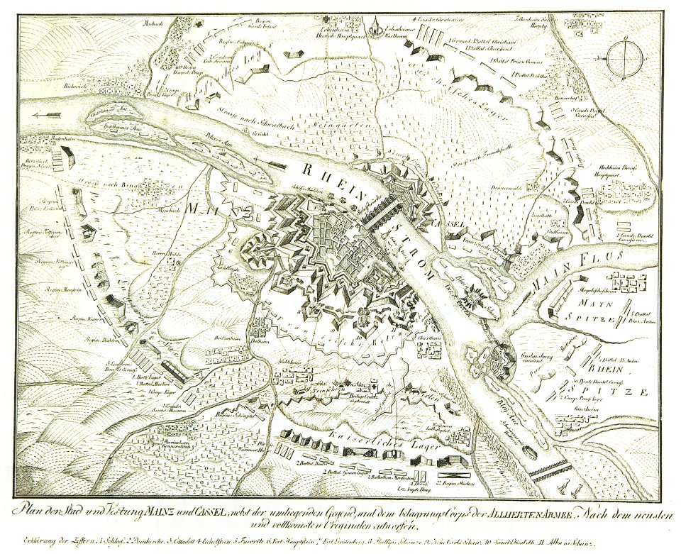
mainz in the 18th century
historical maps of mainz
geographical illustrations by coronelli
old maps of the peloponnese
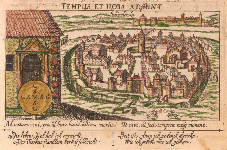
art works by daniel meisner
old maps of smolensk
provided by landsbókasafn íslands
19th-century maps of iceland
provided by landsbókasafn íslands
16th-century maps of iceland
provided by landsbókasafn íslands
16th-century maps of iceland
provided by landsbókasafn íslands
18th-century maps of iceland
provided by landsbókasafn íslands
18th-century maps of iceland
maps in art
disorder
maps of world war i by the daily telegraph
maps of world war i by the daily telegraph
maps of world war i by the daily telegraph
maps of world war i by the daily telegraph
maps of world war i by the daily telegraph
maps of world war i by the daily telegraph
maps of world war i by the daily telegraph
maps of world war i by the daily telegraph
maps of world war i by the daily telegraph
maps of world war i by the daily telegraph
maps of world war i by the daily telegraph
maps of world war i by the daily telegraph
maps of world war i by the daily telegraph
maps of world war i by the daily telegraph
maps of world war i by the daily telegraph
maps of world war i by the daily telegraph
maps of world war i by the daily telegraph
maps of world war i by the daily telegraph
maps of world war i by the daily telegraph
maps of world war i by the daily telegraph
maps of world war i by the daily telegraph
maps of world war i by the daily telegraph
7201 - 7300 of 33,741
Next page
/ 338